From the Weather Channel today for 84651
A WINTER WEATHER ADVISORY FOR SNOW REMAINS IN EFFECT UNTIL NOON MST MONDAY.
* AFFECTED AREA: THE SALT LAKE AND TOOELE VALLEYS ALONG WITH THE SOUTHERN WASATCH FRONT.
* SNOW ACCUMULATIONS: 2 TO 5 INCHES THROUGH MONDAY MORNING WITH LOCALLY HIGHER AMOUNTS.
* TIMING: SNOW… LOCALLY HEAVY AT TIMES… WILL CONTINUE ACROSS THE SALT LAKE AND TOOELE VALLEYS… AND SPREAD INTO UTAH COUNTY BY EARLY EVENING. SNOW WILL PERSIST OVERNIGHT BEFORE TAPERING OFF MONDAY MORNING.
* IMPACTS: WINTER DRIVING CONDITIONS CAN BE EXPECTED ON ALL AREA ROADWAYS THROUGH TONIGHT.
PRECAUTIONARY/PREPAREDNESS ACTIONS…
A WINTER WEATHER ADVISORY MEANS THAT SNOW ACCUMULATIONS WILL CAUSE PRIMARILY TRAVEL DIFFICULTIES. BE PREPARED FOR SNOW COVERED ROADS. USE CAUTION WHILE DRIVING.
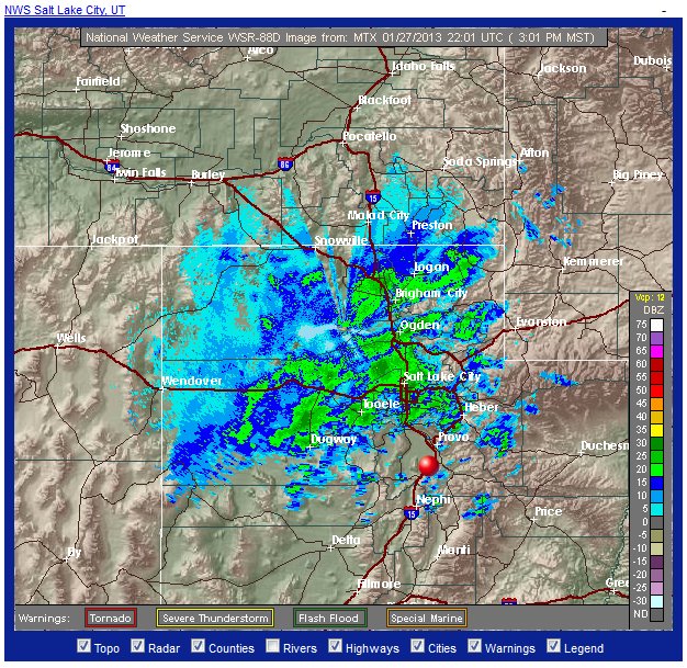
National Weather Service map. Payson is the red sphere – right in what seems to be the eye of a storm.
Clear to the West, but you can see heavy activity to the North of us.
Heavy snow to the North and East.
Us? 48 degrees, windy and sunny. We may get some activity later, but if we don’t I won’t complain – the mountains are picking up a good dose of moisture and I won’t have to shovel as much. The alert says we won’t get ours until early evening, but right now looking at the radar map, we’ll still be on the edge of it, unless the system is traveling southeast.

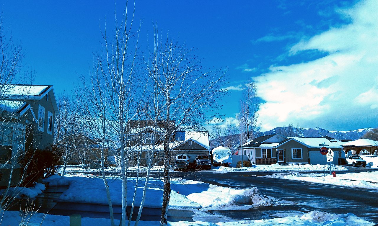
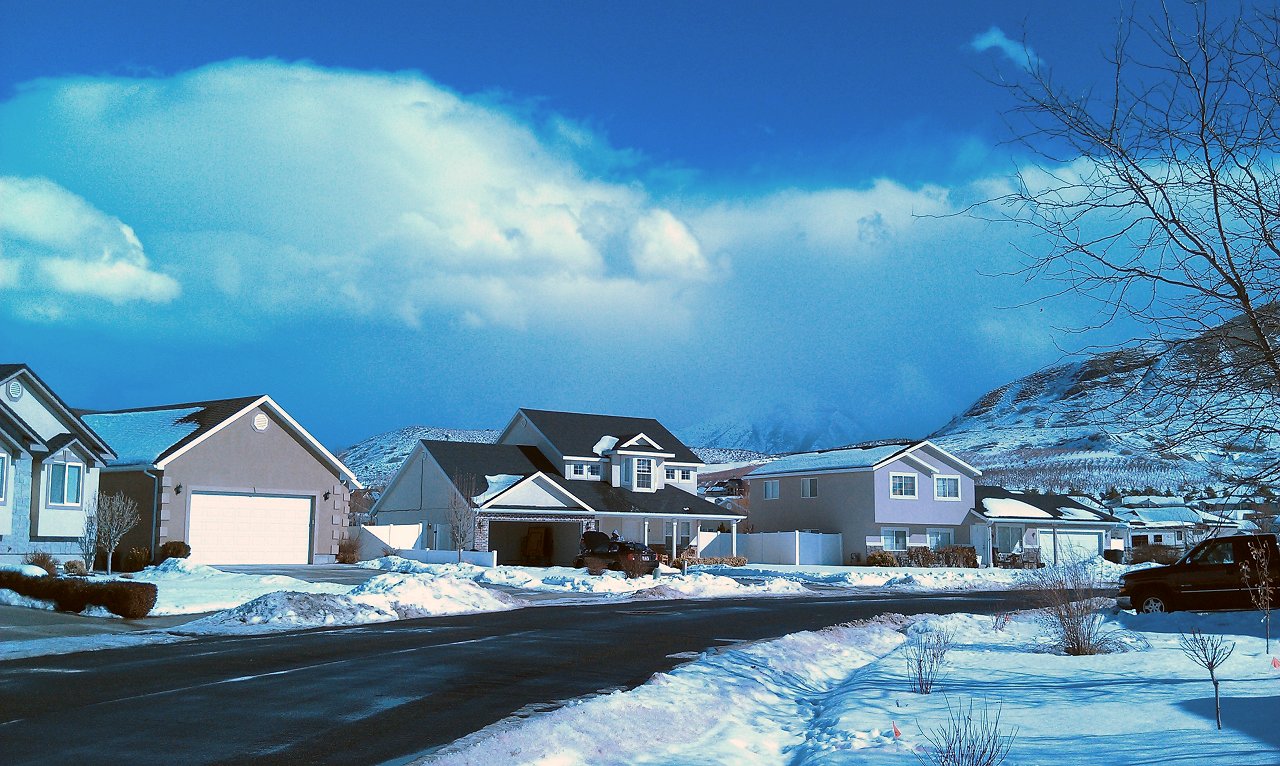
Edit: next morning – about 4 inches of fresh snow. Looks like the storm was indeed heading southeast. Now it’s partly sunny and colder, but I’m still grateful for the water!
